A toolbar for editing digital elevation models (raster) using a brush
This is not a plugin!
Usage
Requires scipy library.
Copy script.py and the SVG files (button icons) to a folder of your choice.
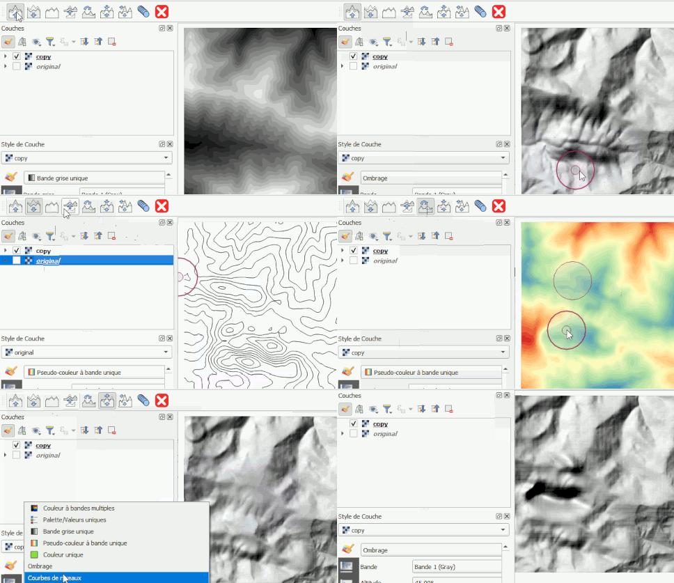
Open the script and run it in the QGIS Python console with a raster layer selected. A toolbar will appear, allowing you to manipulate the raster (raise, lower, blur, copy, etc.).
Best suited to DEMs, it works by modifying the pixel values of a single-band raster.
Only works on local files (not WMS etc.), of the TIFF or ASC type.
Warning: the source file will be altered: remember to work on a copy of your originals.
The brush: circular with blurred edges. Its size, opacity and blur can be adjusted using the shortcuts Ctrl+scroll wheel, Shift+scroll wheel, Ctrl+Shift+scroll wheel
 : Enhances the relief
 : Carve out the relief
 : blur the relief
 : Copy from a second raster
- First select the source raster
 : Copy within the same layer
- Ctrl+Click to set the origin of the copy
 : Flatten the relief
 : Enhances the relief
 : drags
 : Close the toolbar
Known issue:
Adjusting the brush settings sometimes doesn’t work (the zoom function takes precedence)… moving the map slightly (scroll wheel click) fixes the problem.
Files
- repo : https://github.com/xcaeag/Qgis-tips
- script : resources/rasterRetouchScript.py